The Hawaiʻian Volcano Observatory on the May 2021 pause of Halema’uma’u lava lake at Kilauea. If you want to focus on the crown jewel of the Big Island, Hawaiʻi Volcanoes National Park, join us on our Volcano Explorer Tour departing from Kona or Waikoloa.
The Halemaʻumaʻu lava lake celebrated its 5-month anniversary by doing what we all like to do on our special day, taking a break. Hawaiʻi Volcanoes National Park suggested that Kīlauea’s summit eruption was getting ready for a “luana iki” or little rest, a more poetic way of describing a pause in eruptive activity.
What causes an eruption to pause? A pause is caused by an interruption in the supply of magma to the eruption site or vent. Now, how do we know the eruption has paused? Well, that’s a deceptively simple question with a surprisingly complex answer in this situation.
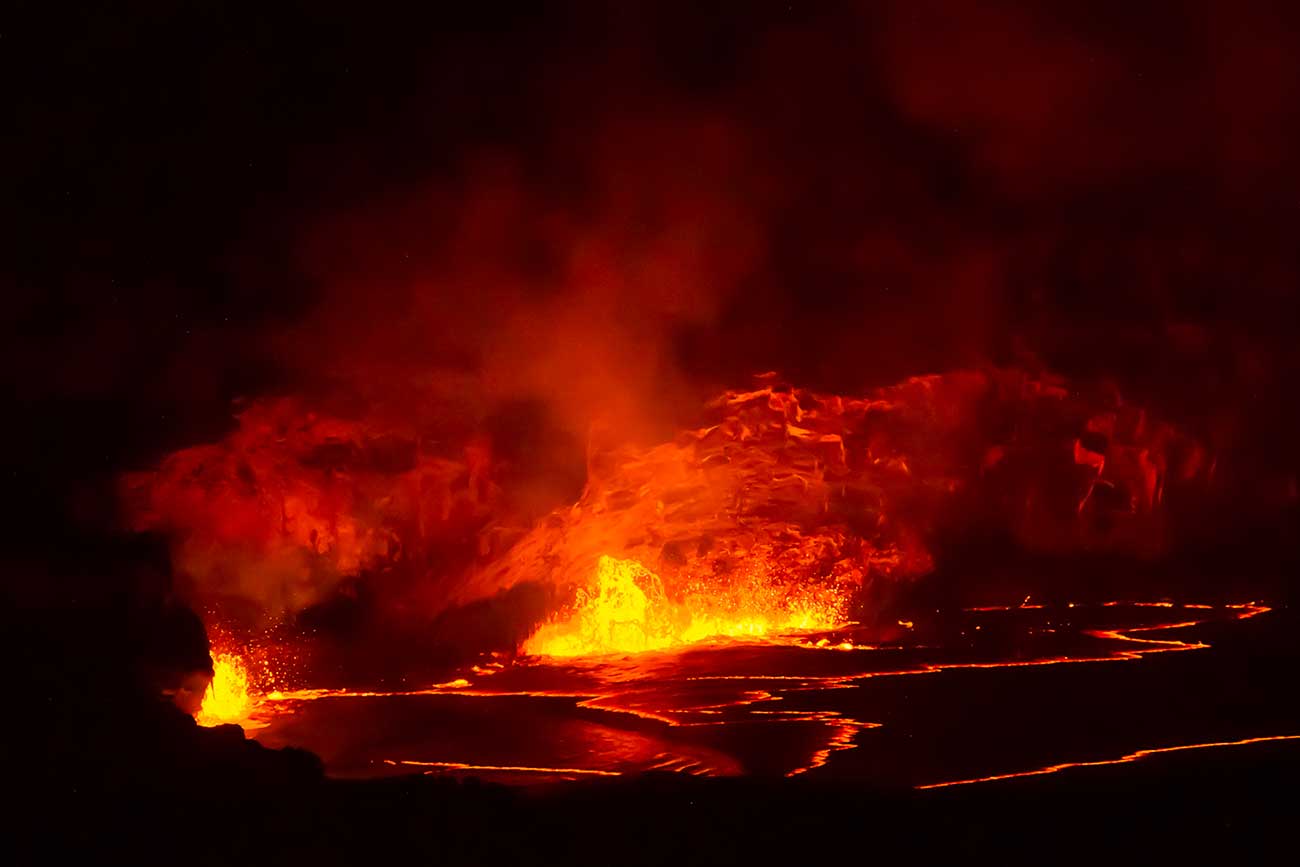
Molten lava is glowing red and generally easy to spot erupting from the vent, especially at night. And, likewise, generally easy to tell when it’s stopped. However, in the case of the lava lake, the vent supplying the lava eventually crusted over and lava was no longer visible.
The best way to tell if lava is still filling the crater (without being able to see the lava) is to see if the level of lava in the lake is continuing to rise. The crater forms a natural measuring cup, except that it’s a very strange shape and it has no markings to use to measure volume. We measure the distance to the surface of the lava lake using laser rangefinder instruments and then apply some algebra, trigonometry, and a computer to find the depth, volume, and lava supply rate of the lava lake.
The amount of sulfur dioxide gas (SO2) being released from the vent is directly related to the amount of lava being erupted. Both erupted lava volume, approximately 8 million cubic meters or 10 million cubic yards per day, and SO2 gas release, 40,000 tonnes per day, were extremely high at the beginning of the eruption. These exponentially decreased over the course of the eruption to about 70,000 cubic meters or 90,000 cubic yards of lava per day and less than 1000 tonnes of SO2 per day by early- to mid-April.
The eruption rates and SO2 gas emissions declined precipitously after April 16th, coincident with the level of lava in the lake reaching the level of the vent. This relationship suggests that the colder, degassed lava within the lake essentially drowned the vent.
This period also saw a decrease in seismic tremor related to magma movement and degassing within the dike feeding the vent. In addition, a weak pattern of inflation associated with increased earthquakes beneath Kīlauea caldera suggest that magma has shifted to accumulating at depth instead of rising to the surface.
Finally, the top of the lava lake crusted over as the lava supply dwindled and stopped, with the last surface activity seen on May 23rd. So, without being able to directly see if new lava was entering the lake, USGS Hawaiʻian Volcano Observatory (HVO) scientists used lava lake depth measurements to infer that the lava supply stopped and that the eruption “paused”.
Many eruptions undergo brief pauses then resume activity within the same vents. There were numerous pauses followed by resumption of activity during the Puʻuʻōʻō eruption and many have also been recorded in the past including during the Maunaulu, Kīlauea Iki, and 1955 lower East Rift Zone eruptions.
So, how do we know if the 2020–21 Halemaʻumaʻu eruption is paused or pau? Statistically, most eruptions that resume, do so within 3 months after pausing. For now, we can only watch and wait to see if activity returns to this same vent system ending the pause. Or alternatively, if the eruption is truly pau, we may be entering a period of quiescence prior to Kīlauea’s next eruption.
Volcano Activity Updates
Kīlauea Volcano is not erupting. Its USGS Volcano Alert level is at ADVISORY (https://www.usgs.gov/natural-hazards/volcano-hazards/about-alert-levels). Kīlauea updates are issued weekly.
Lava supply to the Halemaʻumaʻu lava lake has ceased and sulfur dioxide emissions have decreased to near pre-eruption background levels. Seismic tremor, persistent during the eruption, has weakened significantly but continues to indicate some shallow magmatic activity. HVO continues to closely monitor Kīlauea’s seismicity, deformation, and gas emissions, and maintains visual surveillance of the summit and the East Rift Zone for signs of renewed activity. There are currently no indications suggesting that a resumption of volcanic activity is imminent. Kīlauea remains an active volcano and future eruptions are possible at the summit or elsewhere on the volcano. For more information on current monitoring of Kīlauea Volcano, see https://www.usgs.gov/volcanoes/kilauea/monitoring.
Mauna Loa is not erupting and remains at Volcano Alert Level ADVISORY. This alert level does not mean that an eruption is imminent or that progression to an eruption from the current level of unrest is certain. Mauna Loa updates are issued weekly.
This past week, about 39 small-magnitude earthquakes were recorded below Mauna Loa; most of these occurred below the summit and upper-elevations at depths of less than 8 kilometers (about 5 miles). Global Positioning System (GPS) measurements show low rates of deformation in the summit region over the past week. Gas concentrations and fumarole temperatures at both the summit and at Sulphur Cone on the Southwest Rift Zone remain stable. Webcams show no changes to the landscape. For more information on current monitoring of Mauna Loa Volcano, see: https://www.usgs.gov/volcanoes/mauna-loa/monitoring.
There were 5 events with 3 or more felt reports in the Hawaiʻian Islands during the past week: a M2.9 earthquake 19 km (11 mi) E of Kalaoa at 21 km (13 mi) depth on May 26 at 12:36 p.m. HST, a M4.2 earthquake 15 km (9 mi) S of Volcano at 7 km (4 mi) depth on May 23 at 11:40 a.m. HST, a M3.4 earthquake 15 km (9 mi) S of Volcano at 7 km (4 mi) depth on May 23 at 9:38 a.m. HST, a M3.6 earthquake 15 km (9 mi) S of Volcano at 8 km (5 mi) depth on May 23 at 8:36 a.m. HST, and a M2.4 earthquake 2 km (1 mi) WSW of Puako at 10 km (6 mi) depth on May 22 at 10:43 a.m. HST.
HVO continues to closely monitor both Kīlauea and Mauna Loa for any signs of increased activity.
Please visit HVO’s website for past Volcano Watch articles, Kīlauea and Mauna Loa updates, volcano photos, maps, recent earthquake info, and more. Email questions to [email protected].
Volcano Watch is a weekly article and activity update written by U.S. Geological Survey Hawaiʻian Volcano Observatory scientists and affiliates.