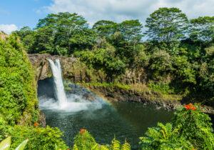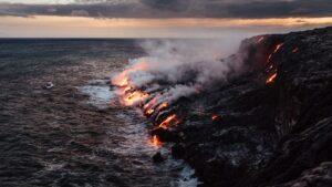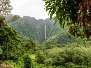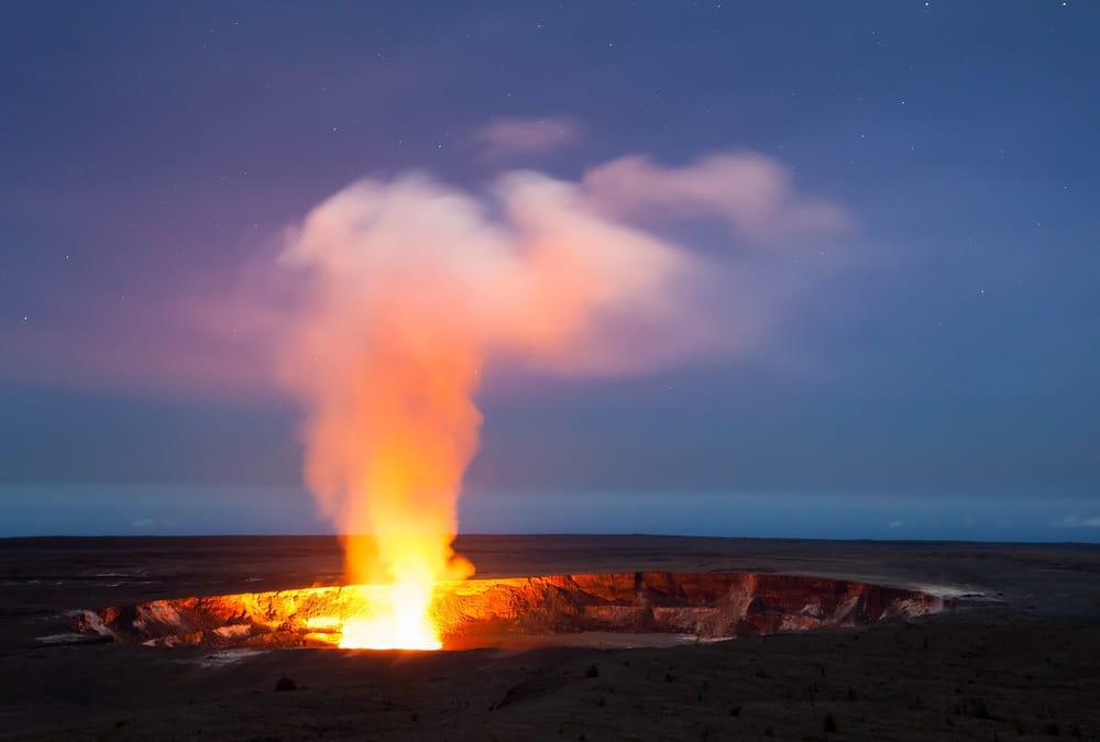
Our popular volcano tour cruises along the Kona Coastline in luxury up to the most active volcano in Hawaiʻi. Here is some information on the plates underneath the earth that move and affect earthquakes and volcanoes.
R. Kayne answers the question what is plate tectonics for Wise Geek.
Plate tectonics is the study of how the Earth’s crust is shaped by geological forces. It relies on the understanding that the crust is divided into large pieces, or plates, that sit on the molten magma present below the surface. Currents within the interior cause the plates to move, which causes many different geological events, including earthquakes and the forming of mountains and volcanoes. Understanding how plates move and interact is the main purpose of plate tectonics.
The Earth’s Crust
While it may seem like the crust of the Earth is one solid shell, plate tectonics claims that it is cracked into several large pieces. These pieces are called tectonic plates, and they are, on average, about 50 miles (80 km) thick. Underneath the plates is the partially molten layer of the Earth’s core, called the mantle. The mantle is in a constant state of movement, driven by heat from the Earth’s inner core; it acts like a conveyer belt that slowly moves the plates floating above.
According to plate tectonics, there are 14 main plates:
- Pacific Plate
- Juan de Fuca Plate
- North American Plate
- South American Plate
- Caribbean Plate
- Cocos Plate
- Nazca Plate
- Scotia Plate
- Antarctica Plate
- African Plate
- Arabian Plate
- Eurasian Plate
- Indian-Australian Plate
- Philippine Plate
The plates move at a rate of about 1 to 3 inches (2.5 to 7.5 cm) per year. As they move, pressures build at their boundaries, creating various types of geological events: crust is created, destroyed, or crushed; earthquakes occur; mountain ranges rise; and continents shrink and grow.
Subduction Zones and Divergent Zones
When a thin oceanic plate converges with — or is pushed into — a thicker continental plate, the oceanic plate will be pushed downward, beneath the continental plate. This is called a subduction zone, and is usually marked by a deep trench. As the edge of the oceanic plate slides into the soft, molten mantle, it pulls the rest of the plate along. This process is referred to as slab pull.
As crust is consumed in subduction zones, it is being created in divergent zones. In these zones, the plates pull away from one another. The best example is the mid-Atlantic ridge, which lies halfway between the east coast of the United States and Africa, and marks the plate boundaries of the North American and African Plates. Volcanic material is constantly welling up from the seafloor at the site of the spreading plates, creating new sea crust as the old crust moves outwards.
Mountains, Earthquakes, and Volcanoes
When two continental plates converge, they create mountain ranges. This occurs as the plates compress and push crust upwards, somewhat like the folds in a blanket. The highest mountain range on Earth, the Himalayas, was formed as the Indian-Australian Plate collided with the Eurasian Plate. In fact, the Indian-Australian Plate continues to move north, and the mountains are still growing.
Instead of colliding, some plates rub past one another. Because the rocks on the edges of the plates cannot slide smoothly past each other, the very slow movement causes friction to build gradually until the plates “slip,” causing an earthquake. The San Andreas Fault in California is a prime example of this slippage; the Pacific and North American Plates slip past each other near this area, causing California’s famous earthquakes. The strength and length of these earthquakes are related to how the fault zone is deformed by the plate movement.
The “Ring of Fire” is a string of active volcanoes — including Mt. St. Helens, Mt. Fuji, Mt. Pinatubo, and others — situated around the perimeter of the Pacific Ocean. As it moves in a northwesterly direction, the Pacific Plate rubs against surrounding plates. This rubbing causes molten magma to be thrust up all along the plate’s outer edges, causing many of the volcanoes in this area.
Continental Drift
A forerunner of plate tectonics was the theory of continental drift, put forth in 1912 by German scientist Alfred Lothar Wegener. Wegner observed that the coastlines of Africa and South America were oddly similar, as though they could fit together. He also found paleontology records that revealed shared coastal fossils. This and other data led Wegener to hypothesize that all continents were once joined in a supercontinent he called Pangea, which is Greek for “all lands.”
According the Wegener’s theories, Pangea began to slowly break apart 200 million years ago, first into two huge landmasses, which he named Gondwanaland and Laurasia, and later into the continents seen today. This explained contradictory geological records, such as glacial deposits in lands that are now deserts, or the remains of tropical plants found in Antarctica. It wasn’t until a theory developed as to how continents could move, however, that plate tectonics became a viable science.